



Parcel Boundaries
See the Shape of a Property's Land on a Map
Parcel Boundaries returns 5 fields for a property: the parcel outline, its area, a bounding box, a center point and a reduced-outline flag. Today it comes as bulk files.
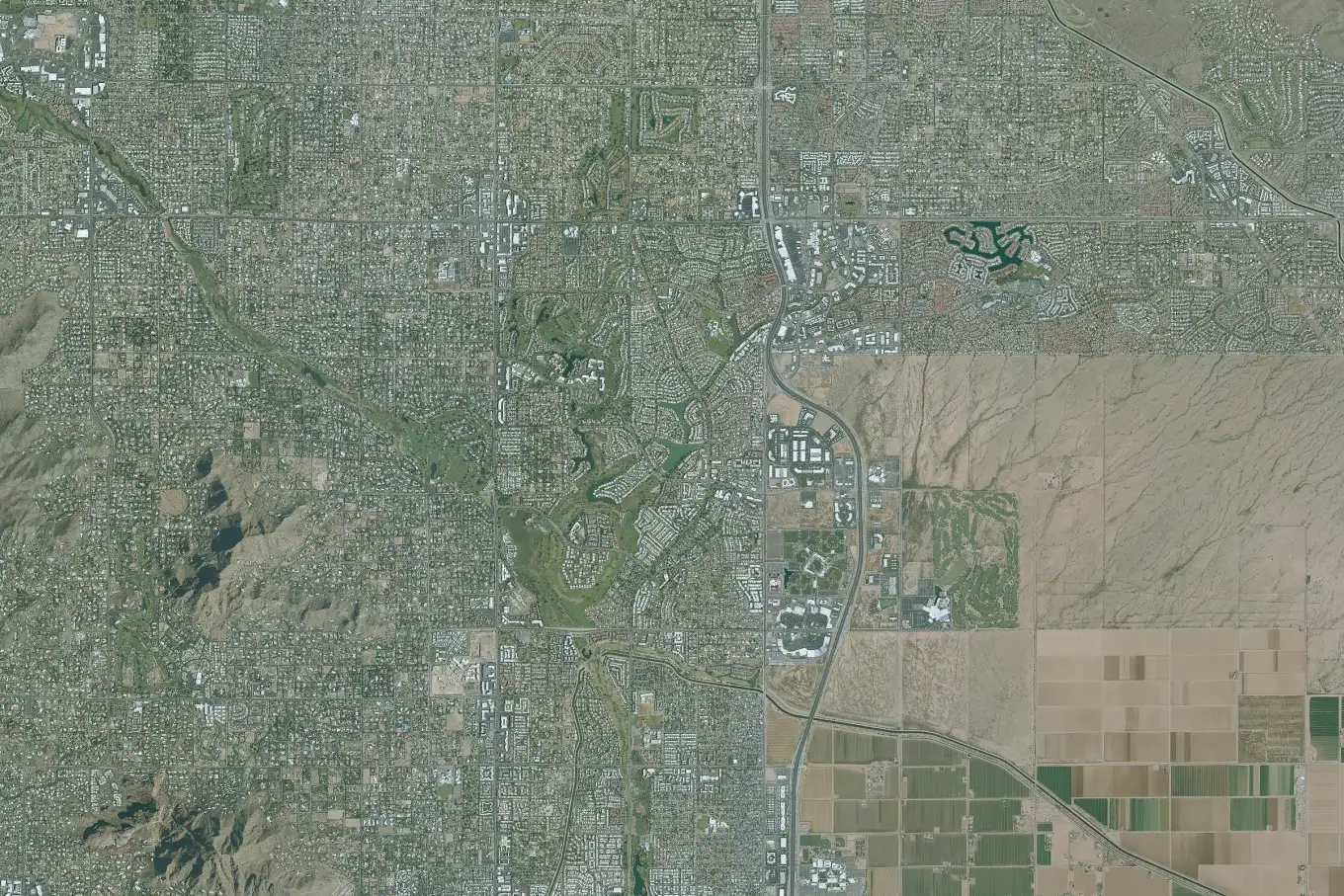
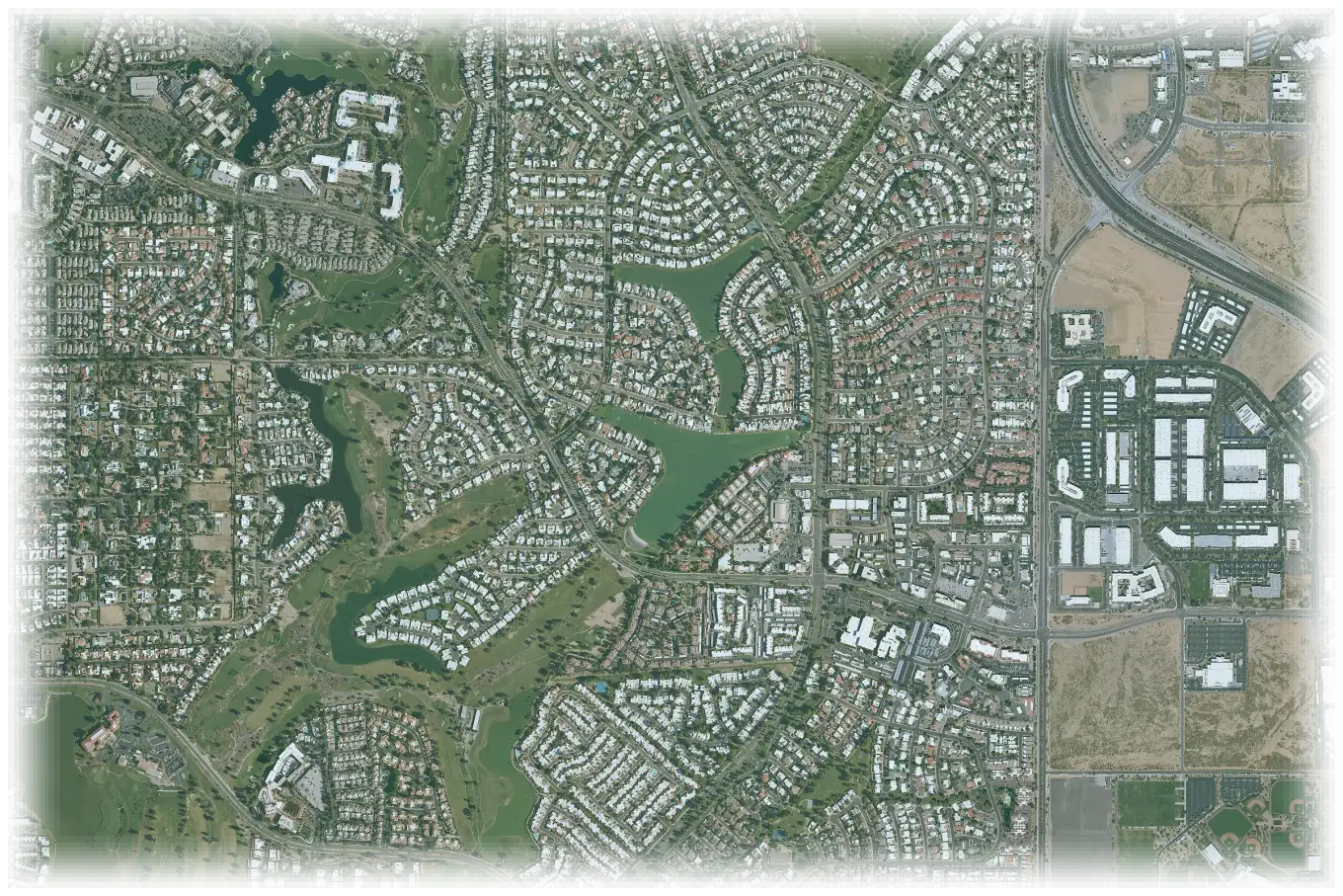
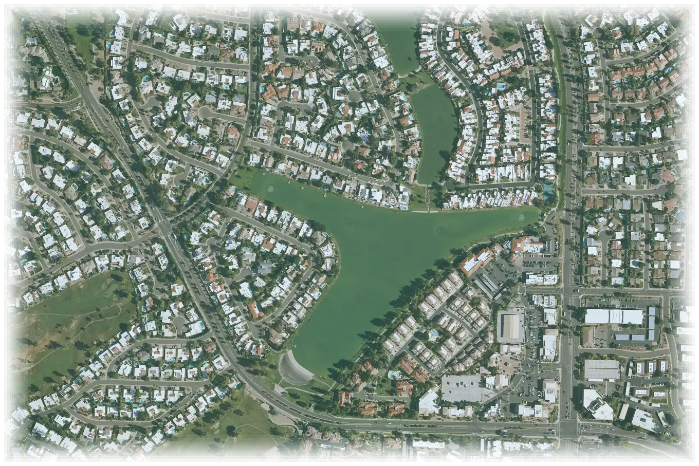
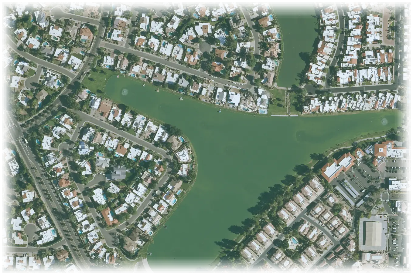
Parcel boundary
- Outline
- Polygon, 14 vertices
- Area
- 19,880 sq ft
- Bounding box
- 33.4498, -112.0712 to 33.4504, -112.0703
- Center point
- 33.4501, -112.0707
- Simplified outline
- No
TRUSTED BY LEADING BRANDS

























- 169M+Parcels
- 3,100+Counties
- 131M+Properties
- 380M+Deed and sale records
What's included
What is Parcel Boundaries?
Parcel Boundaries gives the outline of the land parcel of a property, as a shape you can draw on a map. Each record also has the parcel area in square feet, a bounding box and a center point. The outline is a reference outline, not a legal survey. Parcel Boundaries is an add-on to a Property Data delivery.
Outline
- Parcel outline
- Reduced outline flag
Size
- Parcel area in square feet
- Bounding box
Position
- Parcel center point
What Parcel Boundaries lets you do
Use the outline to show the land, not only a pin.
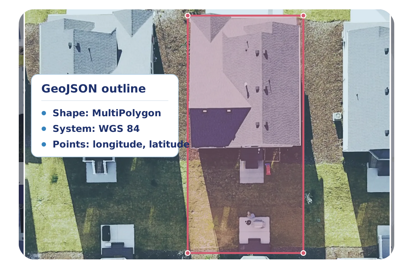
Draw the real shape of a lot
Each outline is a GeoJSON shape that your map tool can draw as it is.
- The outline is always a MultiPolygon, also for a parcel with one shape
- Each point is longitude then latitude, in WGS 84 decimal degrees
- A hole in a parcel is an inner ring of the shape
Read the size and the position
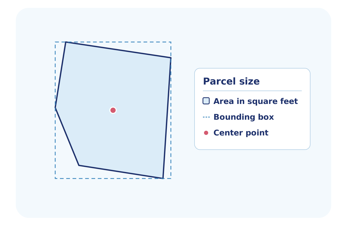
Each record has numbers that place the parcel and size it, so you do not compute them from the shape.
- Parcel area in square feet
- Bounding box with a north, south, east and west edge
- Center point with a latitude and a longitude
Know when an outline is reduced
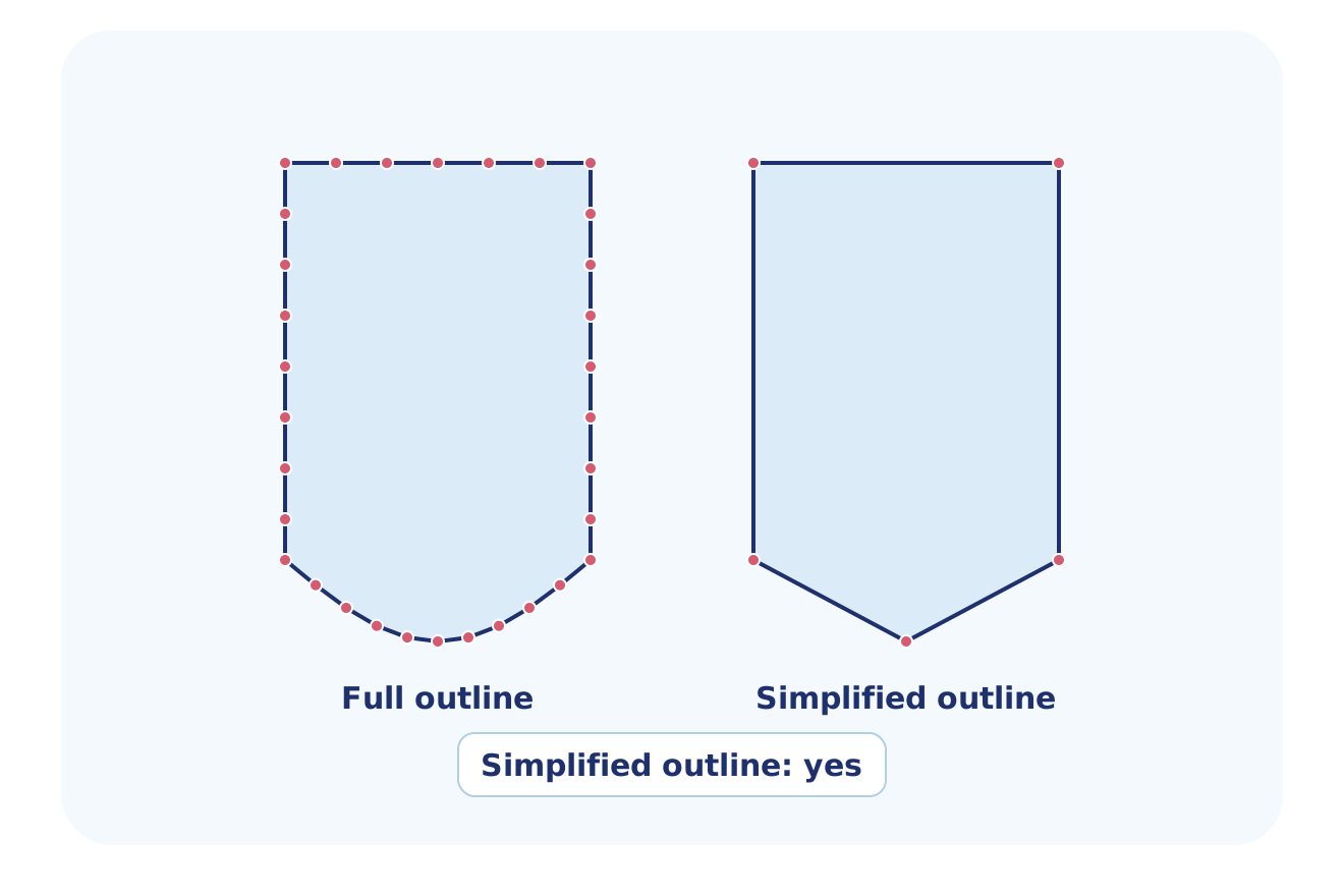
A flag tells you if the outline is the full shape or a simplified copy.
- The flag is true when the outline is a simplified copy
- A measure you take from a simplified outline is approximate
- The flag is false when the outline is the full shape
Who uses Parcel Boundaries
These industry pages show how each team uses property data.
PropTech & Software
Draw the parcel outline on your map, and size it with the area and the bounding box.
Explore PropTech & SoftwareReal Estate Investing
Look at the outline and the area of a lot on a map, before you look at the lot in person.
Explore Real Estate InvestingConstruction & Builders
Read the outline, the area and the center point of a lot, and draw the lot on a site map.
Explore Construction & BuildersInsurance
Draw each insured property as an outline on a map, and read its parcel area, instead of a single pin.
Explore InsuranceFlexible Delivery Options
Choose the integration method that fits your workflow
Bulk Data
Talk to a data expert about Parcel Boundaries files for your data warehouse or data lake. They come with a Property Data delivery.
Professional Services
Our Professional Services team helps you choose the parcel fields, set up the delivery and match the parcels to your records.
- Help choosing datasets, delivery cadence and destination
- Account manager help with token and dataset setup
- Support by email and in-app chat
- Upload a CSV or Excel file and get property data back in the same file
Why BatchData
What You Get With BatchData
One source for property, owner and contact data, by API or by file.
3,100+ Counties
Records from 3,100+ U.S. counties, covering 169M+ parcels.
1,000+ Data Points
Owner, value, mortgage, tax, permit and listing data, with 1,000+ data points for each property.
API or File Delivery
Call the API, or get files in Snowflake, Databricks, Amazon S3, SFTP or Google Drive.
Frequently asked questions
What is parcel boundary data?
BatchData parcel boundary data gives the outline of the land parcel of a property, as a shape you can draw on a map. BatchData Parcel Boundaries also gives the parcel area in square feet, a bounding box and a center point. The outline is a reference outline, not a legal survey.
Is a parcel boundary a legal survey?
No, a BatchData Parcel Boundaries outline is a reference outline, not a legal survey, and BatchData returns it as a map shape. BatchData returns the outline with its area, bounding box and center point. You decide how to use the outline, and you hold the obligation for that use.
Which coordinate system does BatchData's parcel boundary data use?
BatchData's Parcel Boundaries use WGS 84 decimal degrees, the system GPS uses (EPSG:4326). Each point is longitude first, then latitude, so enter the values in that order in your map tool. Each outline is a GeoJSON shape, and its points use the same order.
How do I know if a parcel outline is simplified?
BatchData Parcel Boundaries flags each outline that is a simplified copy of the parcel. The flag is true for a simplified copy and false for the full shape, so check it before you measure an outline. A measure you take from a simplified outline is approximate.
Where can I buy parcel boundary data?
BatchData sells Parcel Boundaries as an add-on, and it comes as bulk files for your data warehouse or data lake. BatchData offers pay-as-you-go pricing, and a data expert can review the files and the pricing for your team.
Start with Parcel Boundaries
Talk to a data expert about the outline fields, the bulk files and pricing for your team.