



Address & Geocode Data
Standardize and Map Addresses
20+ fields: standardize an address, add its coordinates, find the nearest addresses to a point and suggest addresses as users type.
TRUSTED BY LEADING BRANDS

























- 169M+Parcels
- 3,100+Counties
- 131M+Properties
- 1,000+Data points per property
What's included
What is Address and Geocode Data?
Address and geocode data cleans an address and finds its place on the map. BatchData standardizes an address to USPS conventions and adds its county, coordinates, delivery point match code and carrier route. It returns the latitude and longitude of an address, and the nearest addresses to a point. You call the endpoints through the API, and Address Autocomplete suggests addresses as users type.
Street
- House number
- Street address, with the house number and the unit
Street forms
- Street name without the house number or the unit
- Street address without the unit
City and ZIP
- City and state
- ZIP code and ZIP+4
County
- County
- County FIPS code
Delivery
- Delivery point match code
- Postal carrier route
- Vacant: yes, no or unknown
District and time
- Congressional district
- Time zone
- UTC offset and daylight saving time
Address identity
- Address hash
- Complete address in one line
Coordinates
- Latitude and longitude
- Location as a GeoJSON point
Match detail
- How exact the point is, from rooftop to ZIP centroid
- Address type of each match near a point
What address data lets you do
Use the address results to standardize a list, place each address on a map and find the address behind a point.
Put each address on the map
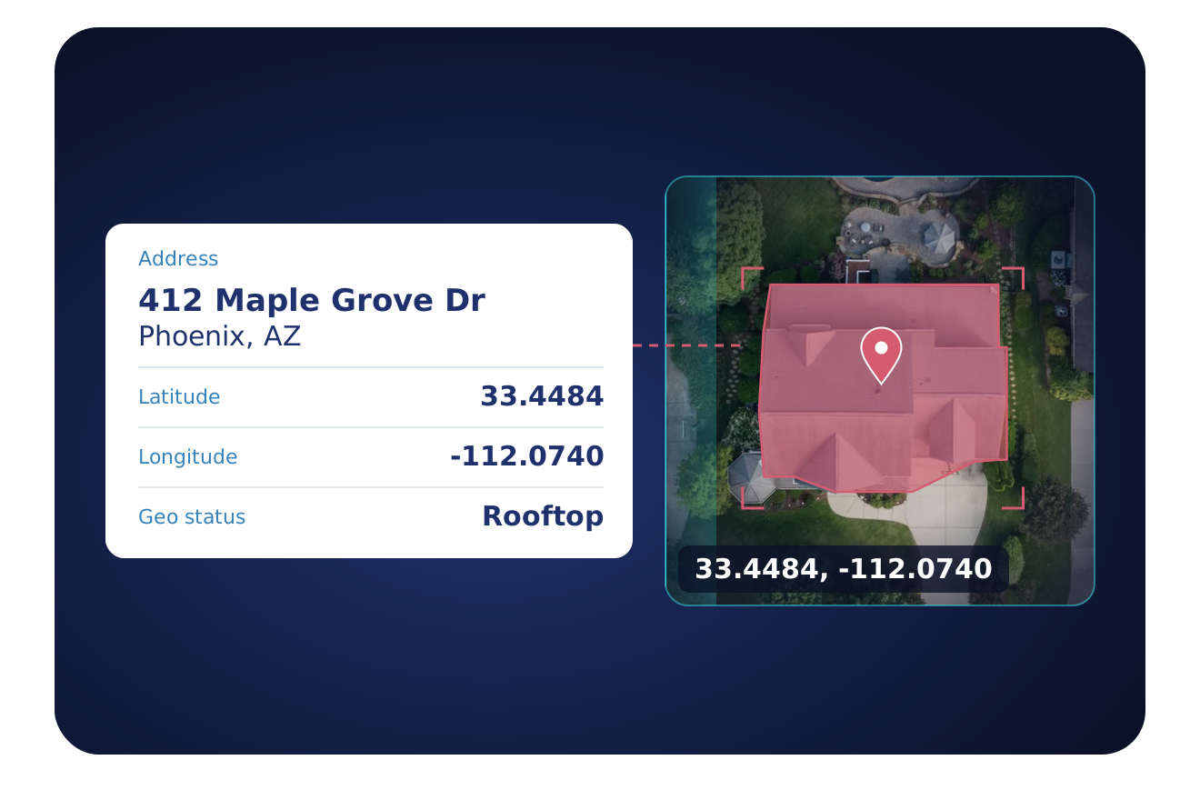
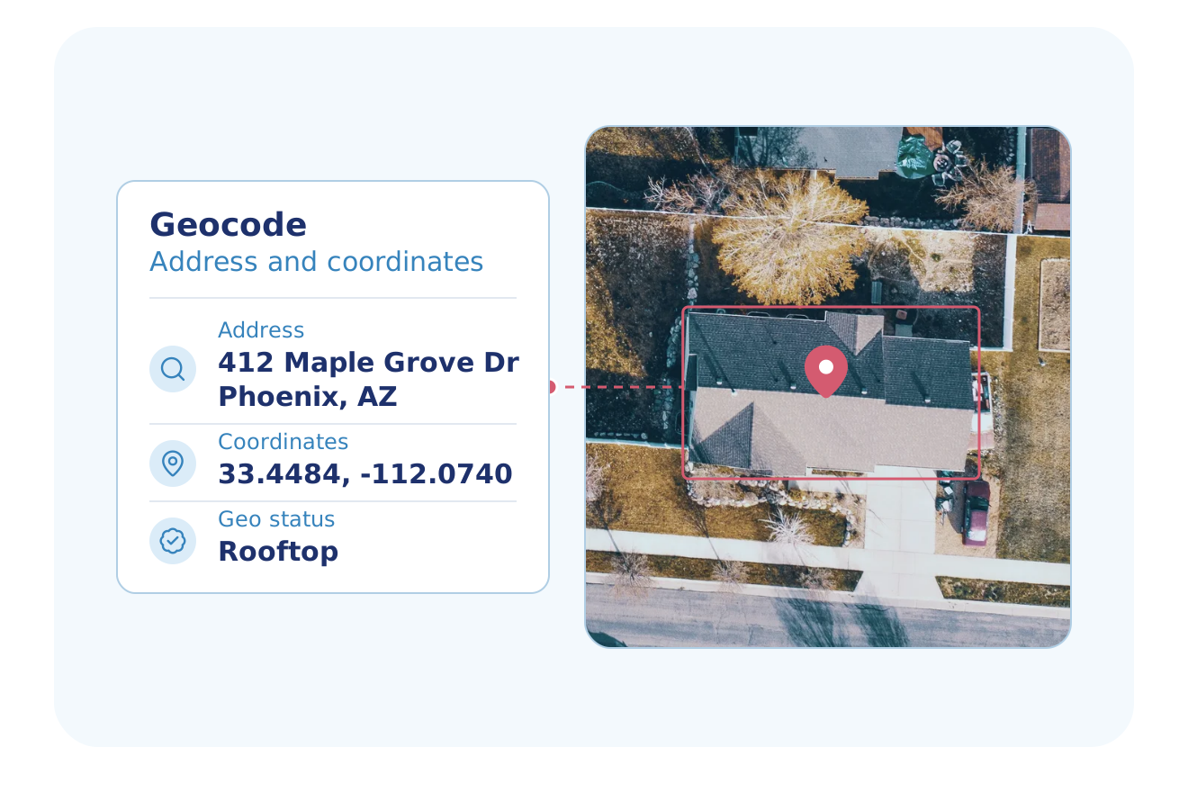
Add a point and a place to each address in your list.
- Latitude and longitude for each address
- A status that shows how exact the point is, from rooftop to ZIP centroid
- County, county FIPS code and time zone
Clean each address before you use it
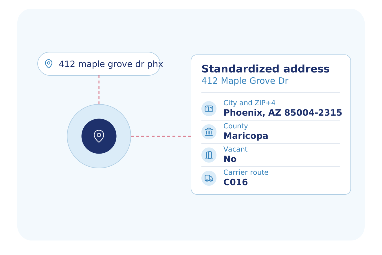
Send an address and get it back in a standard form with its delivery details.
- Standard house number, street, city, state, ZIP and ZIP+4
- Delivery point match code and postal carrier route
- A vacant flag: yes, no or unknown
Find the address behind a point
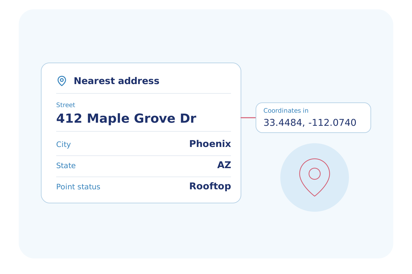
Turn a latitude and longitude into the nearest addresses.
- The nearest addresses to a latitude and longitude
- Street, city, state, ZIP and county for each match
- The point status and the address type of each match
Built for Your Industry
These industries start their work from an address or an address list.
Logistics
Standardize each delivery address, read its delivery point match code and postal carrier route, and add its latitude and longitude.
Explore LogisticsPropTech & Software
Suggest addresses as users type, standardize the one they pick and use its address hash to look up the property.
Explore PropTech & SoftwareMarketing & Data Resellers
Standardize a mailing list, read each delivery point match code and carrier route, and see which addresses are marked vacant.
Explore Marketing & Data ResellersUtilities, Energy & Telecom
Add latitude, longitude, county and time zone to each service address, and see how exact each point is.
Explore Utilities, Energy & TelecomInsurance
Standardize the address typed into a quote form and add its coordinates and county before you look up the property.
Explore InsuranceMortgage & Lending
Standardize the street, city, state and ZIP of each property in a portfolio, and add the county FIPS code and address hash.
Explore Mortgage & LendingHome Services
Turn a latitude and longitude into the nearest street addresses, with city, ZIP and county.
Explore Home ServicesReal Estate Investing
Standardize a seller list before you look up each property, and read the county FIPS code and address hash for each address.
Explore Real Estate InvestingFlexible Delivery Options
Choose the integration method that fits your workflow
Real-Time API
Standardize an address, geocode it, find the nearest addresses to a point or suggest addresses as users type, all through the API.
- RESTful JSON API
- Async delivery to your webhook for large batches
- Developer docs and no-cost sandbox tokens
Bulk Data
Send many addresses in one request, or upload a CSV or Excel list in the BatchData web app.
MCP Server
Your AI assistant standardizes an address, gets its coordinates or finds an address from coordinates through the MCP server.
- Your AI assistant calls BatchData tools to look up and search properties
- Connects to Claude, ChatGPT, Cursor and Claude Code with OAuth sign-in
- Runs on the same API, with datasets set by your account admin
Professional Services
Our Professional Services team helps you choose the address and geocode endpoints, set up the delivery and match the data to your records.
- Help choosing datasets, delivery cadence and destination
- Account manager help with token and dataset setup
- Support by email and in-app chat
- Upload a CSV or Excel file and get property data back in the same file
Why BatchData
What You Get With BatchData
One source for property, owner and contact data, by API or by file.
3,100+ Counties
Records from 3,100+ U.S. counties, covering 169M+ parcels.
1,000+ Data Points
Owner, value, mortgage, tax, permit and listing data, with 1,000+ data points for each property.
API or File Delivery
Call the API, or get files in Snowflake, Databricks, Amazon S3, SFTP or Google Drive.
Frequently asked questions
What is address and geocode data?
Address and geocode data is a standardized postal address paired with its latitude and longitude, so software can place the address on a map. Geocoding turns an address into coordinates, and reverse geocoding turns coordinates back into the nearest address. BatchData standardizes each address to USPS rules and adds its county, coordinates, delivery point and carrier route.
What data does BatchData's address verification and geocoding return?
BatchData's address verification and geocoding data returns 20+ fields for each address you send. They include the standard street, city, state, ZIP and ZIP+4, the county and county FIPS code, and an address hash. It also returns latitude and longitude, a delivery point match code, the carrier route, the congressional district, the time zone and a vacant flag.
How do I standardize US addresses and add coordinates?
BatchData standardizes each US address to USPS conventions, with its ZIP and ZIP+4. Its Geocode endpoint adds latitude and longitude to each address. You call both endpoints through the BatchData API, with pay-as-you-go pricing.
How do I get the property record for an address?
Send the address, or the address hash from Address Verification, to BatchData Property Lookup to get the full property record. The address hash identifies the address, and the hash finds the property record in a later lookup. One request holds up to 500 properties, and an async request holds up to 1,000.
What does the geocode status mean in BatchData's geocoding?
BatchData's geocode status shows how exact each point is, from rooftop and interpolated rooftop to the center of a ZIP+4 or ZIP code area. Geocode returns the status with the latitude and longitude of each address.
Can I use Address Autocomplete in a web form?
Yes, BatchData Address Autocomplete suggests addresses as users type in a web form. A client-side token limits the calls to the domains and IP addresses that you list. The user picks an address from the suggestions, and you can standardize it with Address Verification.
What is the difference between geocoding and reverse geocoding?
Geocoding turns an address into a latitude and longitude, and reverse geocoding turns a latitude and longitude into the nearest addresses. BatchData's Geocode endpoint returns the coordinates of an address, and its Reverse Geocode endpoint returns the nearest addresses to a point. Each geocode result also shows how exact the point is.
What is address standardization?
Address standardization puts an address in the USPS form, with its standard street, city, state, ZIP and ZIP+4. BatchData returns the county, the delivery point match code and the carrier route with each standard address.
Start with address data
Talk to a data expert about the address endpoints, delivery options and pricing for your team.